Natural Hazards - Model and Map Update
This consultation has concluded.
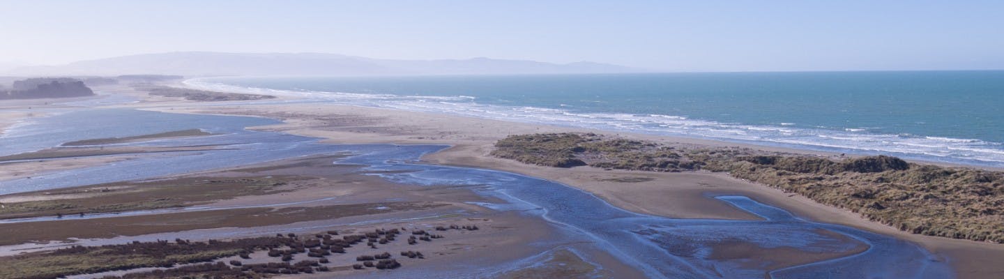
The Council has been updating models and planning maps, to show the possible extent of natural hazards on land in the Waimakariri District.
UPDATED MAPS AND MODELS ARE AVAILABLE TO BE VIEWED HERE.
These models and maps are updated every few years to provide the best possible information for landowners looking to buy, build or develop.
Hazard maps are used when processing resource consents, rezoning land, for project information memorandum and building consents, to ensure that the risk from natural hazards to people and buildings is assessed.
They are also referred to on land information memorandum (LIMs) for buyers and sellers of property. The maps will also inform new planning provisions as part of the District Plan Review, which is underway.
Hazard information being updated includes:
- Flooding – from rainfall, coastal inundation and stop bank breach
- Tsunami
- Liquefaction
- Fault lines.
The new information will improve understanding of the risks within the Waimakariri District. You may have a number of questions which may be answered through the FAQ document under the 'documents' tab to the right.
The maps have improved the predicted level of hazards in some areas, but worsened it in others. We recommend that you find some time to go online to look at the latest information and see how it affects your property.
UPDATED MAPS AND MODELS ARE AVAILABLE TO BE VIEWED HERE.
At this stage, the Council is still deciding how best to respond to the updated information, both in terms of reviewing planning rules, as well as considering how it will affect the community and its assets into the future. It will take some time to understand the full impacts of the updated information, and how the Council and the community is to best respond.
The next step in this process is through the District Plan Review which will be looking at how we should respond to this new info by setting future planning rules and restrictions, so any future development is done in as safe a way as possible. We will be back in touch to get your feedback on this in early-mid 2021.
This consultation has concluded.
This is a forum which connects you directly to the project leaders. We'll do our best to answer your questions as soon as possible. The best part is you can ask us at your convenience.
We have a FAQ document which is on the right hand side of the page which may answer some of your questions. Please have a read of this and ask any questions you are unsure of or you want specifically answered.
Who's Listening
-
Phone 0800 965 468 Email developmentplanning@wmk.govt.nz -
Phone 0800 965 468 Email don.young@wmk.govt.nz